TEMPO.CO, Jakarta - As tropical cyclones intensify across parts of the Indian Ocean during the peak of the Southern Hemisphere cyclone season, Indonesia’s Meteorology, Climatology, and Geophysics Agency (BMKG) has upgraded the 91S tropical cyclone seed in the southwestern Indian Ocean off Lampung into Tropical Cyclone Bakung.
The status change took effect on Friday night, December 12, 2025, at 07:00 PM local time (WIB).
BMKG analysis shows that Cyclone Bakung is currently packing maximum sustained winds of 35 knots (around 65 kilometers per hour), with a central pressure of approximately 1,000 hectopascals. The system is moving southwest, away from Indonesian territory.
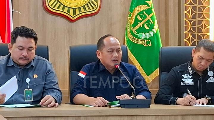
BMKG head Teuku Faisal Fathani said that although Bakung is tracking away from Indonesia, it could still have indirect impacts on weather conditions and sea states over the next one to two days.
He urged authorities and the public to remain alert to the potential for extreme weather.
“Based on our monitoring, over the past few days BMKG has continuously issued early warnings to the public and relevant sectors,” Fathani said during a press briefing on the development of tropical cyclone seeds 91S and 93S on Friday.
Intensity Expected to Increase
BMKG forecasts that within the next 24 hours, Cyclone Bakung’s maximum wind speed could strengthen to 55 knots (around 100 kilometers per hour), upgrading it to a Category 2 tropical cyclone.
At that stage, the system’s central pressure is expected to drop to about 988 hectopascals as it continues moving farther southwest from Indonesia.
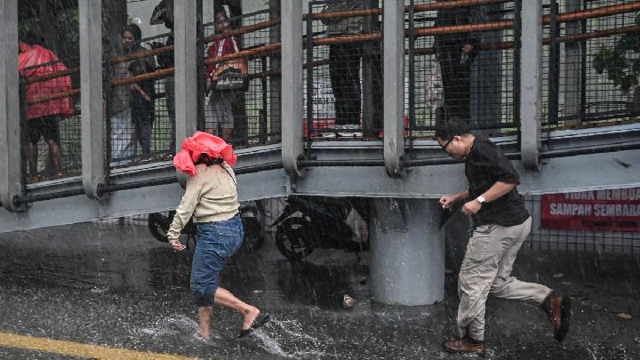
Despite its trajectory, BMKG warned of indirect impacts across parts of the country. These include the potential for moderate to heavy rainfall in Bengkulu, Lampung, and Banten, as well as strong winds in Bengkulu.
High waves ranging from 1.25 to 2.5 meters are also forecast in the western Indian Ocean from the Mentawai Islands to Lampung, the southern Indian Ocean from Banten to West Java, and the southern part of the Sunda Strait.
Monitoring Another Cyclone Seed
BMKG Deputy for Meteorology Guswanto also called on the public to monitor the development of the 93S tropical cyclone seed, currently located in the southern Indian Ocean near Bali and Nusa Tenggara.
While 93S is expected to move slowly southwest away from Indonesia, BMKG said the likelihood of it developing into a tropical cyclone within the next 24 to 72 hours remains low.
Even so, Guswanto warned that the system could still trigger extreme weather in the coming days. “There is potential for moderate to heavy rain in parts of East Java, Bali, and West Nusa Tenggara, along with strong winds and high waves along the southern coasts of East Java, Bali, and West Nusa Tenggara,” he said.
Fathani emphasized the importance of preparedness, urging all stakeholders to act on early warnings to prevent casualties. He advised the public to remain calm, support one another, and stay informed during periods of extreme weather.
“We will continue to monitor the real-time development of Tropical Cyclone Bakung and the 93S system through the Jakarta Tropical Cyclone Warning Centre and will provide updates if there are significant changes,” Fathani said.
Read: BMKG Warns of Heavy Rain Across Sumatra Over the Next 3 Days
Click here to get the latest news updates from Tempo on Google News